The Project

MixEd Reality and GeoINformatics for MOnument DEmonstration

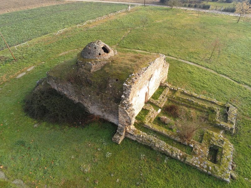
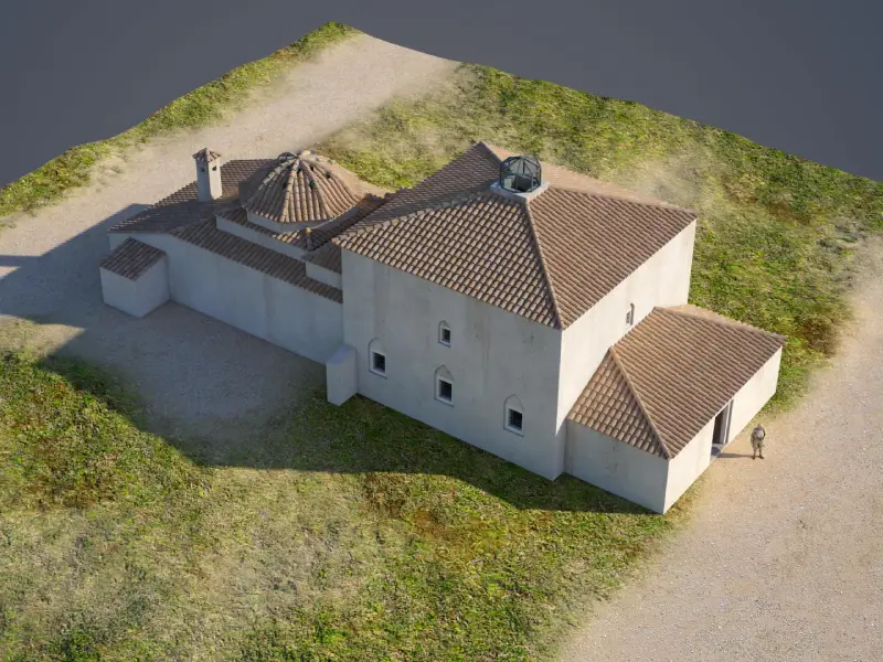
MERGIN’ MODE is a Cultural Information System aiming to demonstrate monuments by merging real with virtual, in a Mixed Reality, assisted by Geoinformation technologies. In specific, the system makes use of cutting-edge technologies in the field of Geoinformatics for creating digital surface models of high accuracy, through the usage of unmanned aerial vehicles and worldwide recognized contemporary photogrammetric tools. At the same time the members of the Project Team exploit the applied research performed for many years which includes recognized by the research community software prototype for creating custom geospatial worlds.


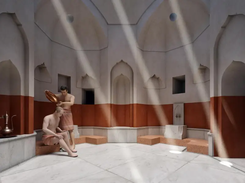
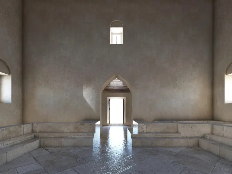
The last simulate the spatial objects related to a monument in a number of overlaid georeferenced vector layers along with three dimensional models representing spatial cultural entities able to populate the areas of a digital surface or to move in predefined or dynamically defined paths. Therefore, assisted by the rich historical documentation material it is possible to represent a monument with its past condition. Or to revive events of the past in a perfect virtual world which combined with the real world, captured by the camera of a smart device, to produce a mixed reality that will enhance the cultural experience of the visitors.

Device Frame
Play Video

The monuments and the archaeological spaces that is proposed to be included for research in the present proposal are of certain interest due to their neighboring with Egnatia road axis which connected Thessaloniki and Constantinoupolis during roman and byzantine ages. Also, due to their importance as witnesses of the historical continuity of the wider area of the Mygdonic basin until late metabyzantine years. In addition, they are about monuments and spaces that have already been cared by the cultural partner of the proposal, which is by the law the responsible authority for the protection of the cultural heritage of Thessaloniki Peripheral Section and foresees to their maintenance, protection and promotion.


For the beneficiaries of the project, the commercial exploitation of the final product is expected to take place through its penetration to authorities and end users, through the development of a mobility around the wider area of the product commercial field and through the development of a network of potential collaborators, authorities and users that will generate needs for technical support, maintenance, development of additional content or customization of the existing one.

Some important features of the whole venture that should be notably stressed are as follows:

  • The system will be based on open software development technologies and services and data of the System will be free and reusable by others aiming to develop additional
  • Utilizing the applications of the system by the end users does not require extra equipment and is based on simple smart devices (e.g. mobile phone) that have already penetrated in a high degree to simple users.
  • Partners that will implement the proposed system, compose a mix of high know-how, professional and research experience in the related fields of expertise and act complementary between each other, while they possess the required know-how in order to implement every task. Therefore, there is no need to hire any kind of external subcontractor or consultant.
  • For the project execution needs and especially for the photogrammetric mapping needs, special equipment is required that will however be made available from the self-infrastructure of the partners, therefore no procurement is required.
  • So far, the professional activities of both companies lie in absolutely relative fields with those of the proposed project, therefore its implementation will enhance their professional profile and will generate new challenges.
  • On parallel, the activities of the participating research organizations will be enhanced with applied research and the dissemination of the project outcomes in conferences and high impact journals is expected to enhance their research index.
  • Finally, the cultural public authority is expected to exploit a valuable effort spent all the previous years for the purposes of highlighting the ancient entities of its responsibility and enhancing the national cultural heritage.

Project code: Τ6ΥΒΠ-00297
Duration: 32 months
Start date: 11/10/2019
Finish date: 10/6/2022

merginmode

Deliverables

Deliverables
WP1 - Cultural-touristic resources documentation framework

Publication | Cultural-touristic resources documentation framework report

WP2 - Development of a prototype system for modeling custom virtual geospatial worlds

Publication | Software of the cultural - touristic resources managing authority

WP3 - Development of mixed reality hybrid interface prototype

End-user software | Publication | Website

WP4 - Infrastructure framework for highlighting cultural-touristic resources

Report of the infrastructure framework for highlighting cultural-touristic resources

WP5 - System Documentation, Pilot Application, Demonstration

Report of System Documentation | Pilot Application, Demonstration | Pilot Implementation